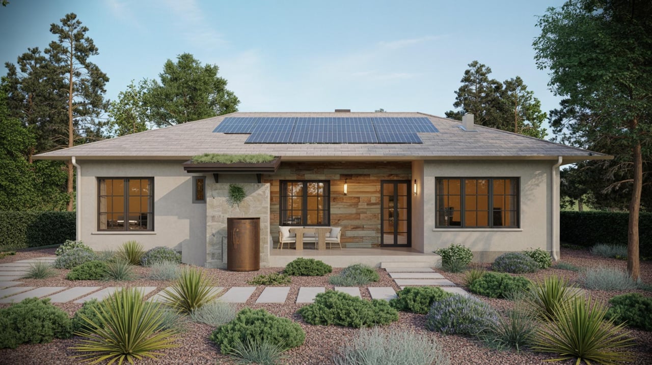
Looking for a Redding neighborhood where you can get outside without turning every walk, ride, or paddle into a car trip? If trail access and water access are high on your list, Redding gives you more real options than many buyers expect. The key is knowing which areas offer true everyday access, what kind of housing you will actually find there, and how each area fits your routine. Let’s dive in.
Why Redding Stands Out
Redding builds a lot of daily life around parks, trails, and the river corridor. City sources report 41 city-owned parks, nine school-park sites, more than 38 miles of city-owned trails, and about 80 miles of paved and natural-surface trails overall.
At the center of that network is the Sacramento River Trail. It connects into residential areas, parks, and open-space corridors, which matters if you want access that feels usable on a normal Tuesday, not just on a weekend.
Redding also has three Sacramento River boat-ramp facilities, along with amenities tied to walking, boating, fishing, and dog-friendly outdoor time. For many buyers, that means your home search is not just about being close to scenery. It is about being close to the kind of outdoor routine you actually want.
What “Close” Really Means
In Redding, “close to trails and water” can mean very different things from one neighborhood to the next. Some areas let you step out and reach trails or riverfront parks on foot, while others are better described as a short drive from outdoor amenities.
That difference matters when you are choosing where to live. If your goal is morning walks, easy bike rides, fishing access, or quick river visits, direct neighborhood access can feel very different from having a park across town.
The city’s Park Finder also notes that neighborhood parks are intended to serve people within walking distance. So when you compare neighborhoods, it helps to ask not only whether water is nearby, but whether the trail, park, or launch point is truly convenient from home.
Turtle Bay And Riverfront Access
The Turtle Bay, Bluffs, and downtown riverfront area is one of the strongest fits if you want to be closely tied to Redding’s trail system. The city describes the river corridor as the backbone of the trail network, and the Sundial Bridge was built to provide pedestrian access to Turtle Bay Exploration Park.
Turtle Bay East Park, located at 1600 Bechelli Lane, includes walking trails. The city’s draft parks master plan describes Turtle Bay East as 85 acres of open space and trails with Sacramento River access and about 1.5 miles of flat gravel trails.
For buyers, this area stands out because the outdoor access feels built into the setting. If you picture regular walks, river views, and easy connection to the city’s best-known trail corridor, this part of Redding deserves a close look.
What To Expect In This Area
This cluster tends to appeal to buyers who want a more connected, central location with strong access to the river corridor. Local market guides referenced in the research describe the Bluffs as a river-view area with trail access.
If your priority is lifestyle first, this is one of the easiest places to start. You still want to verify each property’s exact access, but the broader area has one of the clearest outdoor identities in town.
Lake Redding And Caldwell Park
Lake Redding and the Benton Drive corridor are another standout option for buyers who want river access close to home. Lake Redding Park at 2225 Benton Drive includes walking trails and a Sacramento River boat ramp, which gives this area value for both walkers and people who want easier launch access.
Nearby Caldwell Park adds even more outdoor appeal. It is a 73.84-acre community park with walking trails and riverfront access along the Sacramento River Trail.
This combination makes the area one of Redding’s clearest trail-and-water neighborhoods. If you want to mix neighborhood living with riverfront recreation, this part of town checks a lot of boxes.
Housing In The Lake Redding Area
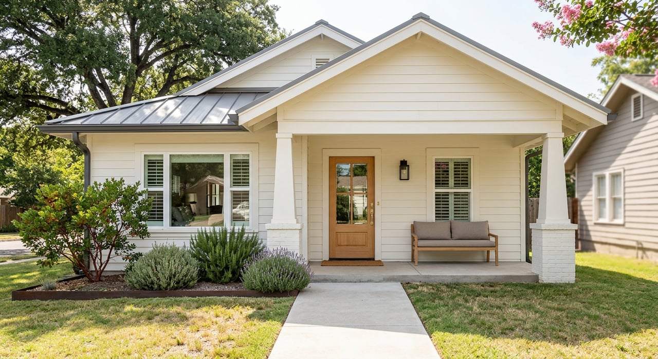
Research for this area points to a mix of housing styles, including 1980s ranch-style homes, midcentury designs, and newer custom builds. The city also identifies nearby subdivisions such as Lake Redding Estates, River Park Highlands, and Bel-Air Estates as built out with single-family homes on similar lot sizes.
That gives buyers a more established residential feel rather than a brand-new subdivision setting. If you want an outdoor-oriented neighborhood with a single-family home pattern, this area may fit well.
A Good Fit For Dog Owners
The Benton area also includes Benton Dog Park, which the city lists as an off-leash dog play facility. If your ideal routine includes walking trails plus dedicated dog space, that is a practical advantage worth noting.
Mary Lake And West Redding
If you want an in-town lake-centered setting, Mary Lake is one of the clearest choices in Redding. Mary Lake Park is a 29.59-acre natural area with a three-quarter-mile perimeter walking trail, fishing access, and neighborhood trail connections to the 6.17-mile Westside Trails system.
That gives this area a slightly different feel from the Sacramento River-focused neighborhoods. Instead of centering your outdoor routine on the river corridor, you get a lake setting with neighborhood trail connections that support walking and biking.
What Buyers Often Like Here
Research describes Mary Lake as the only Redding neighborhood within easy biking distance of downtown. It also notes that homes commonly include midcentury ranches, larger two-story homes, and lakefront properties.
The city’s general plan says West Redding is dominated by single-family subdivisions, with development beginning in some areas in the early 1950s. For buyers, that usually means an established neighborhood pattern rather than a newer master-planned feel.
Why Mary Lake Stands Out
Mary Lake works well for buyers who want a neighborhood outdoor lifestyle without giving up in-town convenience. The lake, walking loop, fishing access, and connection to the Westside Trails system make it especially appealing if your version of recreation is steady and local rather than destination-based.
Parkview And South Downtown Riverfront
Parkview offers a different kind of trail-and-water option. Rather than a traditional subdivision, it is better understood as a more urban, mixed-density river-adjacent neighborhood near downtown.
The neighborhood plan reports that Parkview’s housing stock is about 64% single-family, 23.8% duplex through fourplex, 11.3% multifamily with five or more units, and less than 1% mobile homes. The same plan notes that much of the housing stock reflects deferred maintenance.
For some buyers, that mix can be a feature rather than a drawback. If you want a broader range of housing types and a location tied closely to downtown and the river corridor, Parkview may offer options that look different from west-side single-family neighborhoods.
Outdoor Access In Parkview
City park listings place Parkview Riverfront Park, Softball Park, and South City Park in the same general corridor near the Sacramento River and downtown. That gives the neighborhood a real connection to the riverfront, even if the housing pattern is more varied.
If your priority is access and location over a uniform subdivision feel, Parkview is worth considering. It is one of the better examples in Redding of outdoor access paired with mixed housing choices.
Buckeye As A Different Option
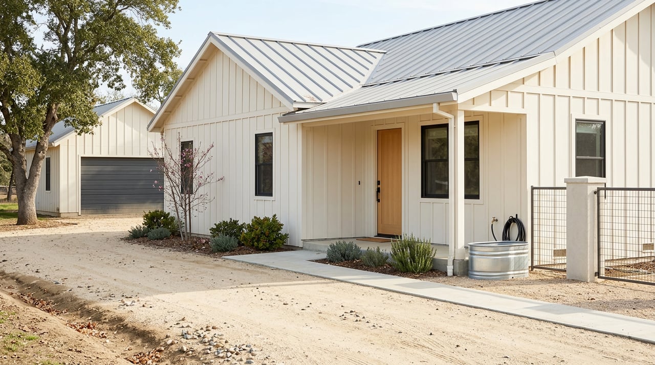
Buckeye and the Lake Boulevard corridor are not the city’s most classic trail-neighborhood choice, but they can still come up in a practical home search. The city’s general plan describes Lake Boulevard as Buckeye’s main artery, with strip commercial development, scattered residential development, landlocked parcels, and mobile homes as a major residential type.
That means this area is better framed as an affordability or flexibility option than as a polished river-trail setting. If you are open to a different neighborhood format and are balancing budget with location, it may still deserve a look.
Match The Neighborhood To The Housing
One of the most helpful things to know about Redding is that outdoor access does not always point to one housing type. Citywide, about 66.2% of occupied housing units are detached homes, with additional inventory in smaller apartment buildings, larger apartment buildings, and mobile homes or other housing types.
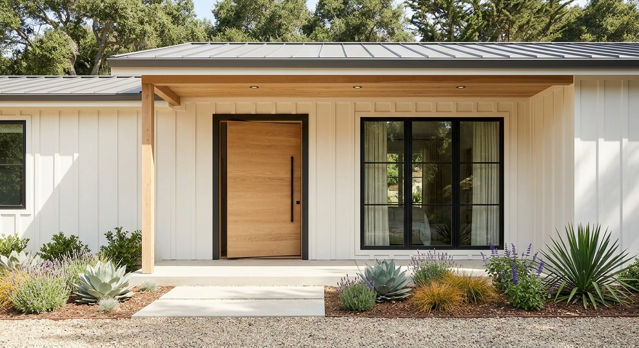
The city’s housing stock also leans established. The largest share of occupied homes was built from 1980 to 1999, followed by 1960 to 1979, which helps explain why many outdoor-oriented areas feel mature and lived-in rather than newly built.
The median owner-occupied home value is about $395,100. Still, neighborhood character can vary quite a bit, so it is smart to compare access, housing style, and condition together instead of assuming every scenic location has the same price point or property type.
How To Shop Smarter In Redding
If trails and water are priorities, start by defining your version of access. You may want walkable trailheads, riverfront launch points, a fishing spot close by, longer loop trails, or room for regular dog walks.
Then compare neighborhoods based on both lifestyle and housing stock. In broad terms:
- Turtle Bay and the riverfront offer some of the strongest direct trail access
- Lake Redding and Caldwell Park blend river access, trails, and established single-family neighborhoods
- Mary Lake and West Redding offer a lake-centered setting with trail connections and a strong single-family pattern
- Parkview offers river-adjacent access in a more mixed-density setting near downtown
- Buckeye may fit buyers looking for more flexibility in housing type and budget
Finally, verify the exact property location. The city’s GIS map tools can help confirm whether a home is truly trail-adjacent, river-adjacent, or simply near a park on the map.
If you want help comparing neighborhoods in Redding based on how you actually live, working with a local advisor can save time and help you narrow in on the right fit. Whether you are looking for a first home, a move-up property, or a lifestyle-driven purchase near the river or trails, Monet Templeton can help you sort through the options and move forward with confidence.
FAQs
Which Redding neighborhoods have the best trail access?
- The strongest direct-access areas in the research are the Turtle Bay riverfront, Lake Redding and Caldwell Park, and the Parkview and downtown riverfront corridor.
Which Redding neighborhood is best for lake access?
- Mary Lake is the clearest in-town lake-centered neighborhood, with Mary Lake Park, a perimeter walking trail, fishing access, and connections to the Westside Trails system.
Are most homes near Redding trails single-family homes?
- Many trail- and water-oriented areas in Redding do lean toward single-family homes, especially in West Redding and lake-adjacent neighborhoods, but areas like Parkview include a more mixed housing pattern.
Does Redding have neighborhoods near boat ramps?
- Yes. Lake Redding Park includes a Sacramento River boat ramp, and city sources report three Sacramento River boat-ramp facilities in Redding overall.
Is Parkview in Redding a traditional subdivision neighborhood?
- No. Parkview is better described as a mixed-density, river-adjacent neighborhood near downtown rather than a conventional subdivision.
How can you verify trail or river access for a specific Redding property?
- The city’s GIS map viewer can help check zoning, general plan classifications, floodplain zones, and whether a property is truly trail-adjacent or river-adjacent.